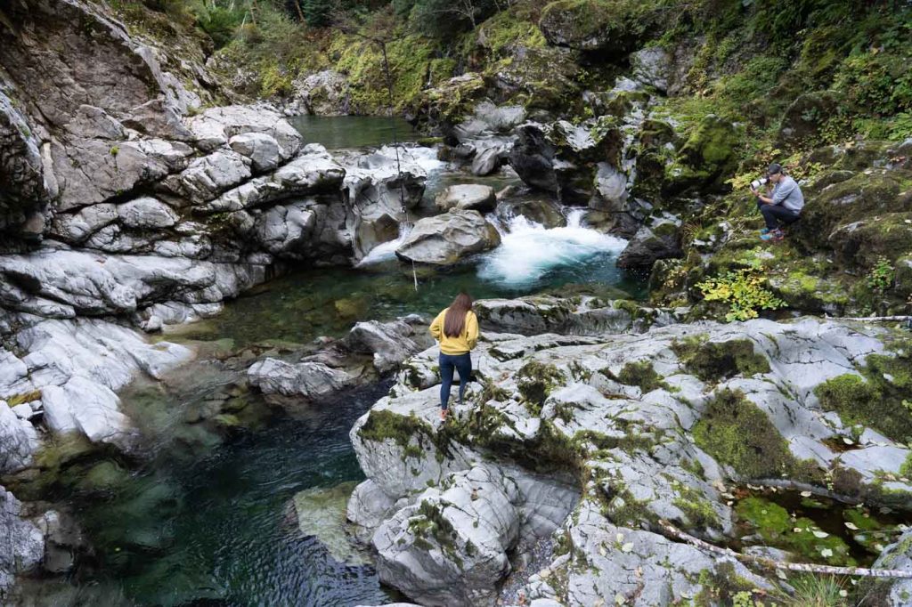
The Chetco is the largest coastal watershed (excluding the Rogue River) in Oregon south of the Coquille. The Chetco mainstem is about 56 miles long with its headwaters and the first 28 miles of the mainstem located within the Kalmiopsis Wilderness. Flowing in a westerly direction the Chetco empties into the Pacific Ocean at Chetco Cove located about 6 miles north of the California line between the towns of Brookings and Harbor. Elevations in the watershed range from sea level to approximately 5,098 feet on Pearsoll Peak. Major tributaries include Box Canyon Creek, Tincup Creek, Boulder Creek, Mislatnah Creek, Eagle Creek, South Fork, Emily Creek, North Fork and Jacks Creek. The upper portion of the watershed is characterized by steeply sloped forested areas with narrow valleys and tributary streams that have moderately steep to very steep gradients. The lowest 11 miles of the river is bordered by private land. Rural residential development, forestry, and urban areas are the dominant land uses in this lower portion of the watershed. The Chetco estuary, estimated at 1.7 miles in length has been substantially altered from its natural state.


