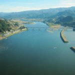
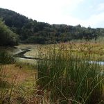
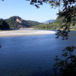
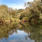
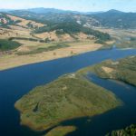
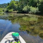
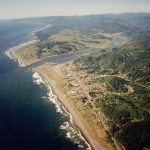
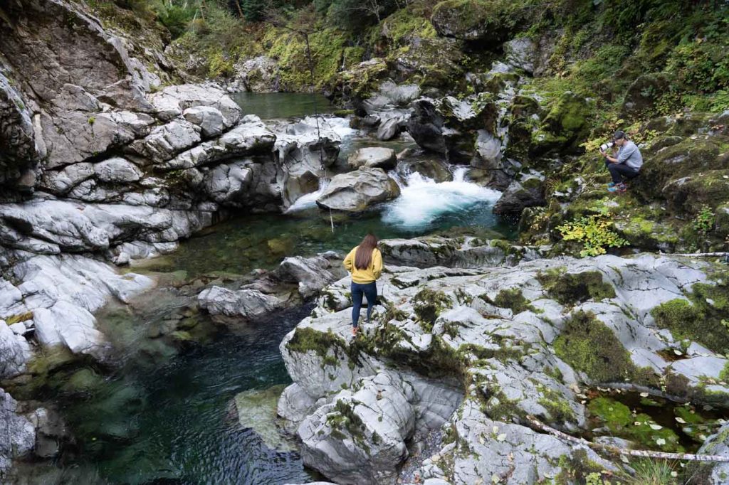
The Lower Rogue River watershed is defined herein for the purposes of this page as the Rogue River and its tributaries downstream from river mile 55, near the Curry County/Josephine County Line in Southwest Oregon. The Lower Rogue basin is 226,668 acres and empties into the Pacific Ocean at Gold Beach, Oregon. The basin lies entirely within the Klamath Mountains Physiographic province, an area noted for steep, rugged terrain, narrow valleys, and sharp divides. Due to the geologic substrates present, most of the region is subject to varying degrees of instability. The topography of the basin reflects long term erosion of a slowly rising upland; the result being a ridge system of roughly uniform elevation. Land use within the basin is primarily forestry related. No major urban areas, industrial centers, or agricultural operations are present in the lower Rogue basin.

